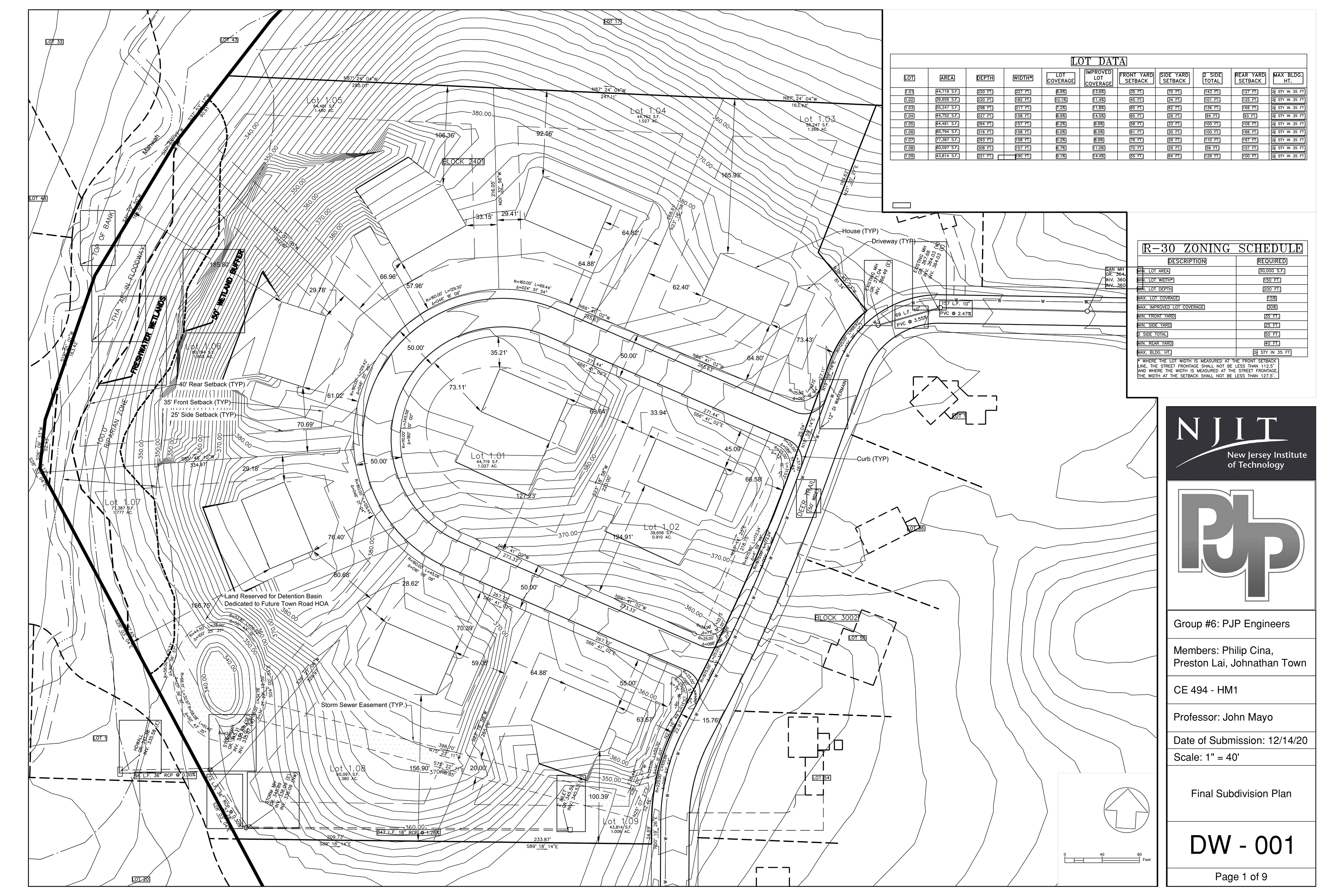
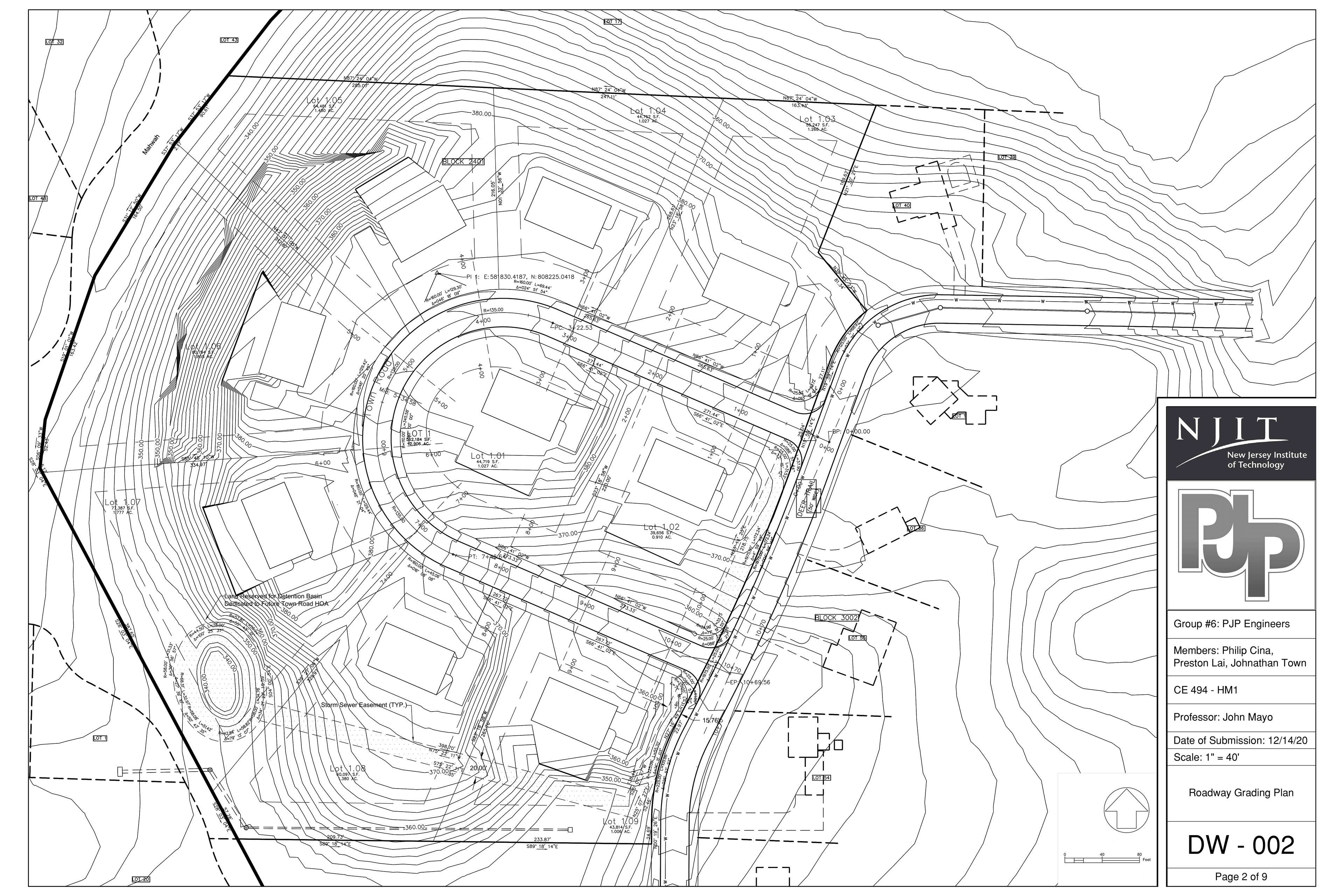
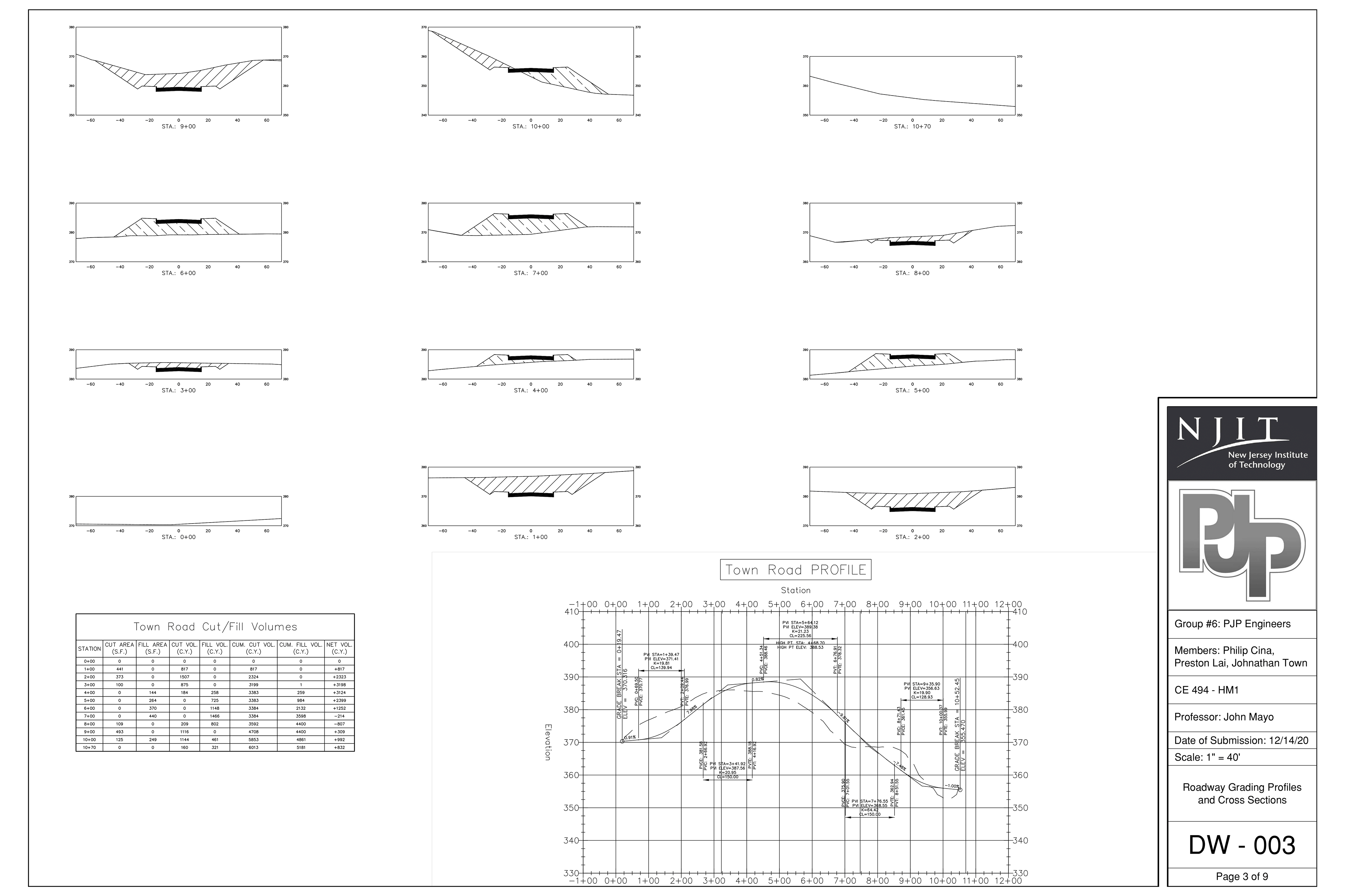
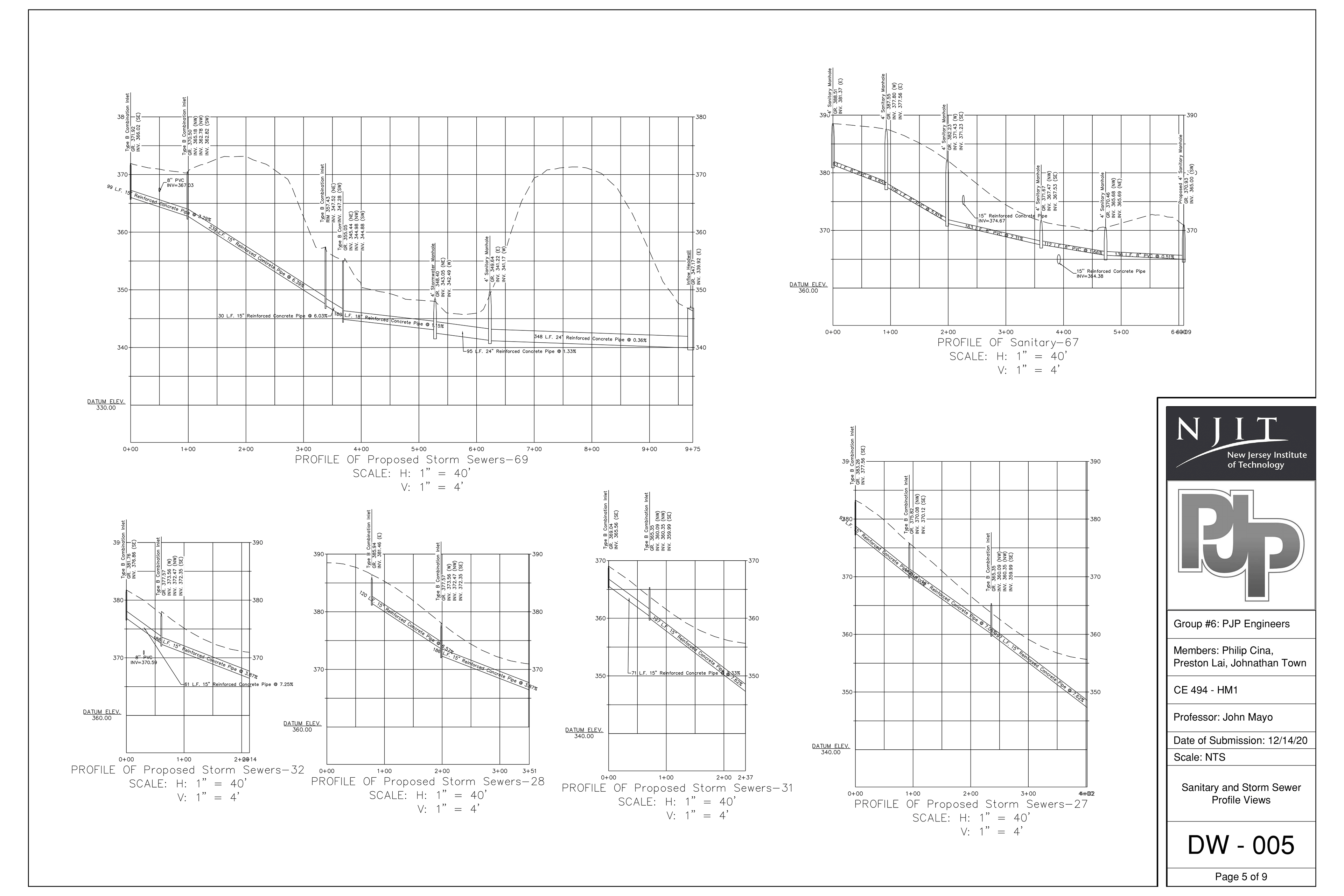
Project Background
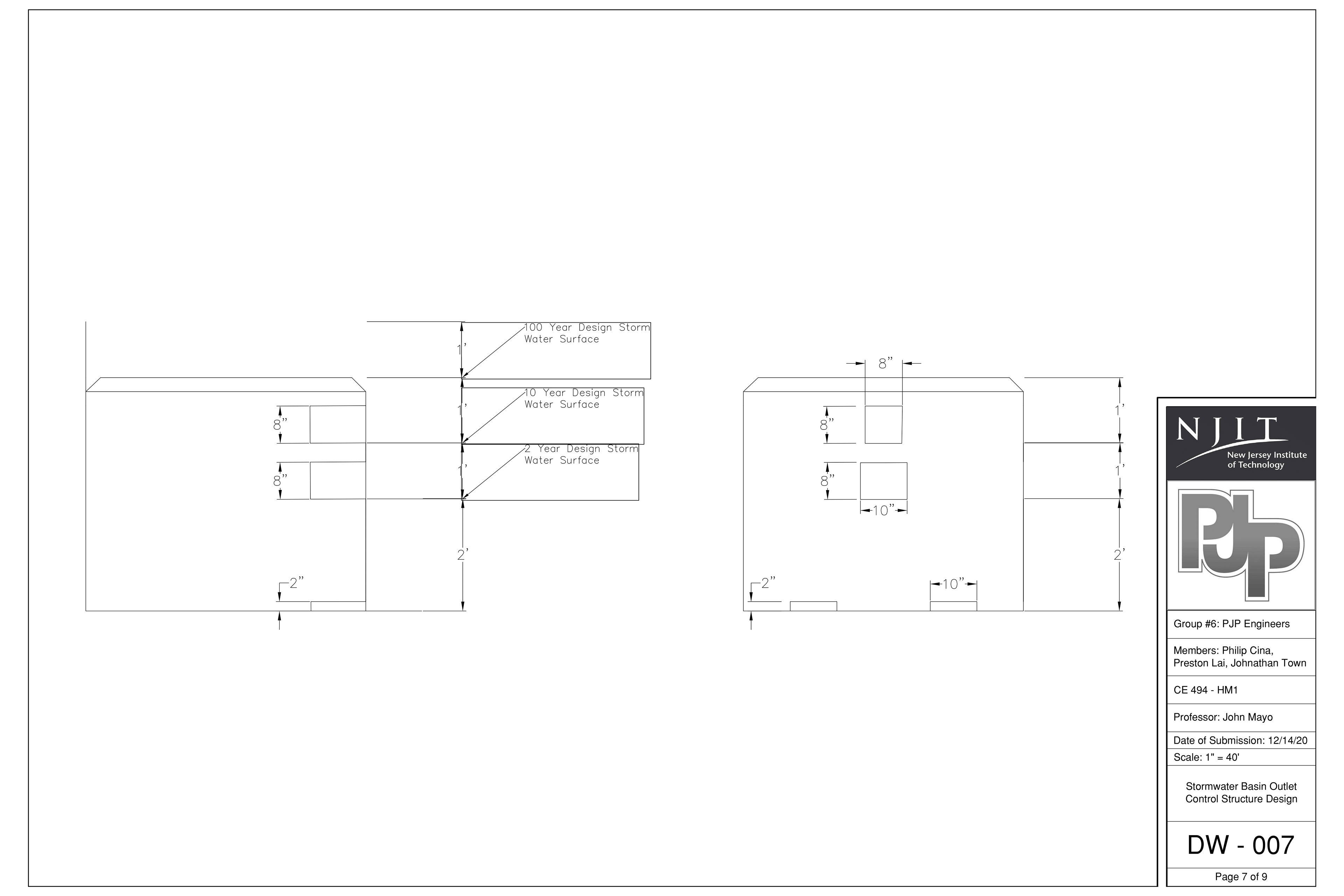
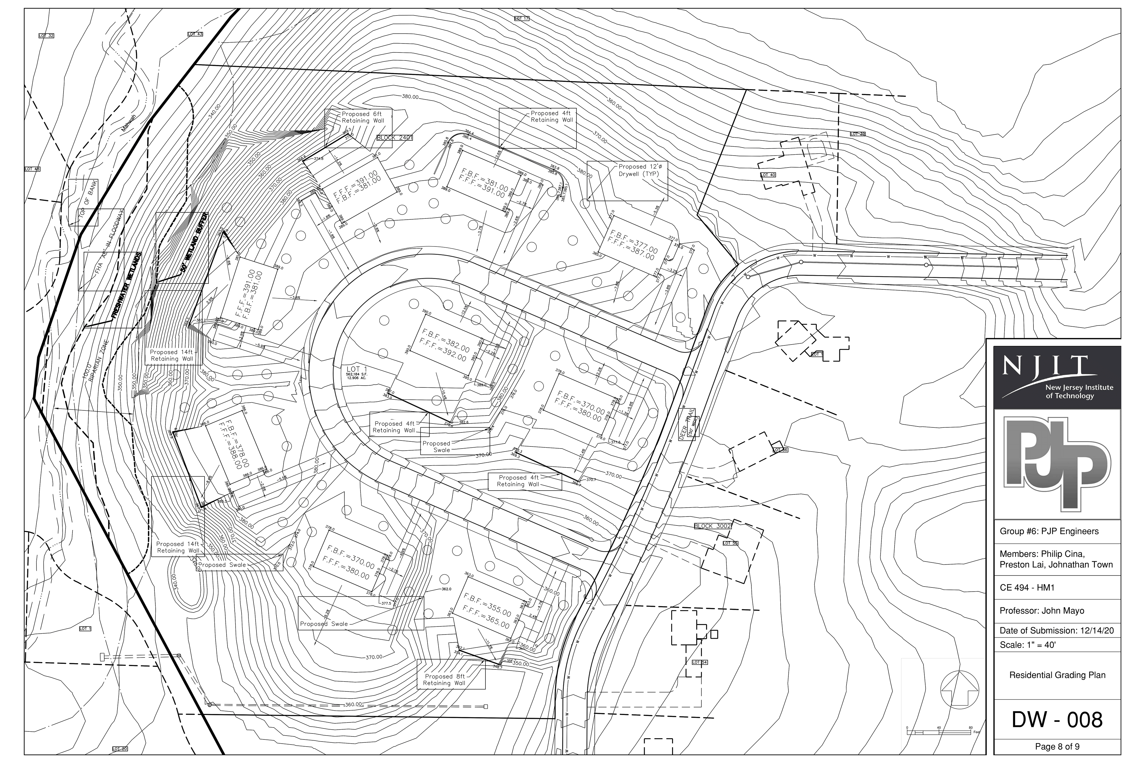
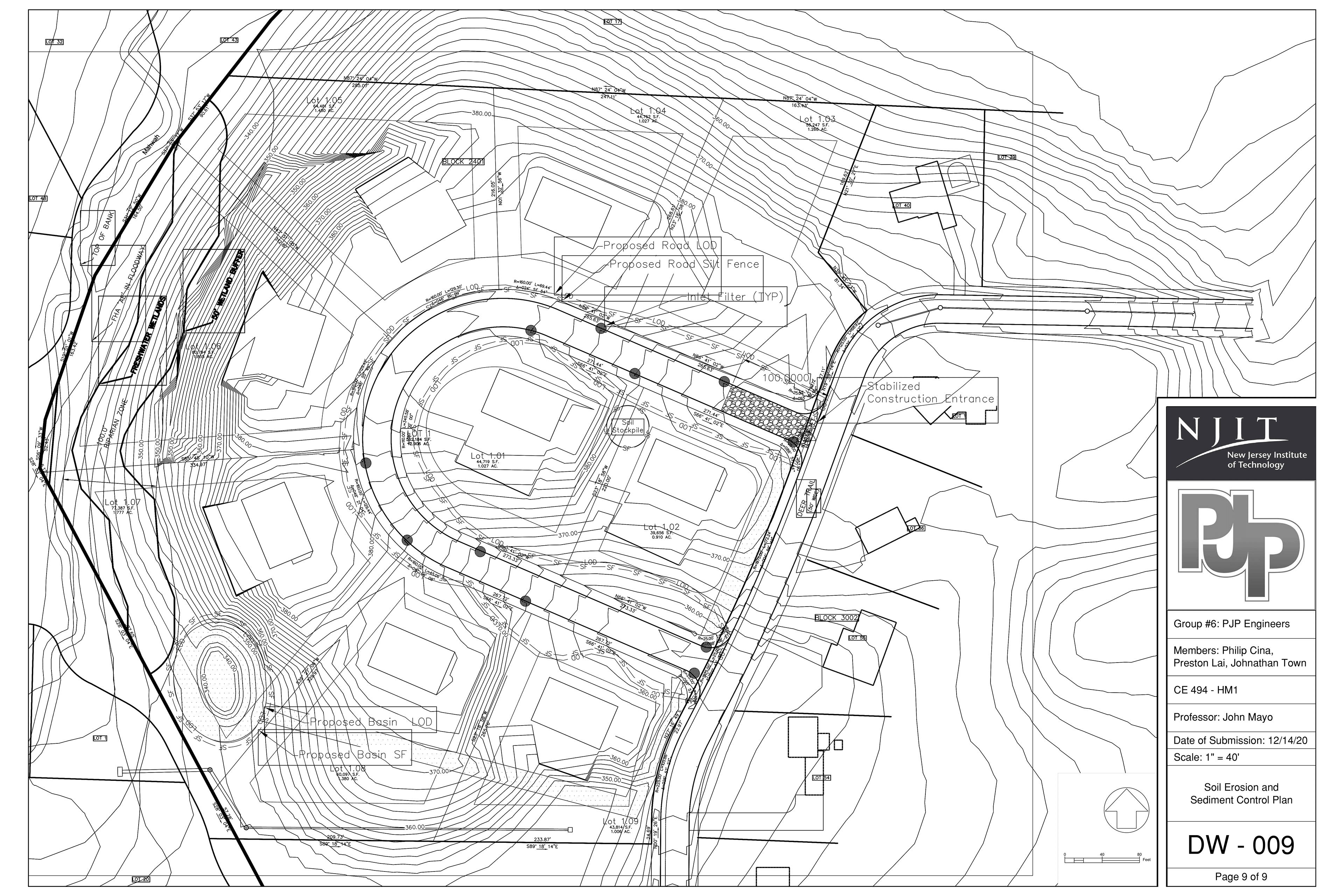
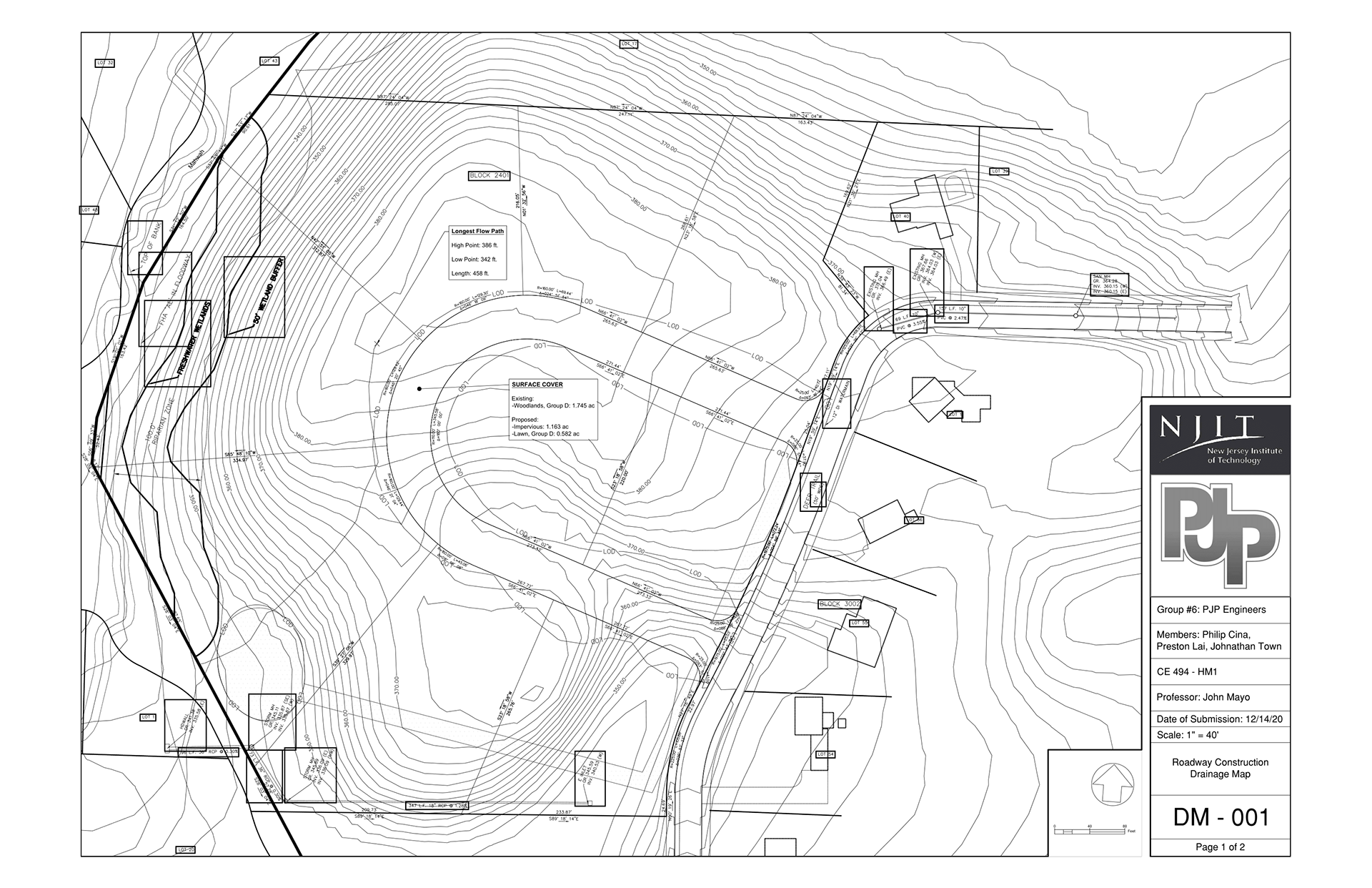
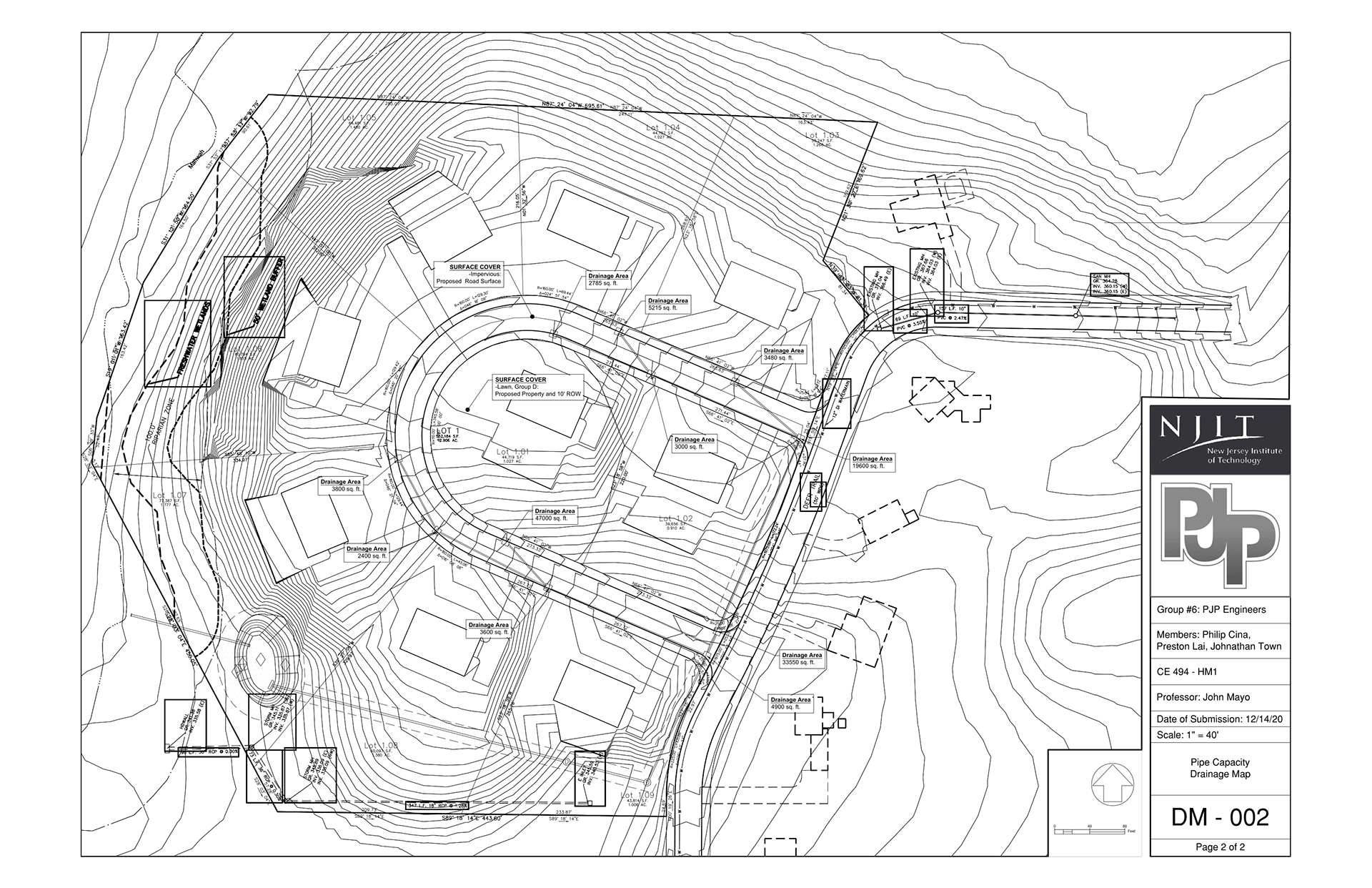
I took this class during the first semester of my senior year at NJIT and it was my first of two senior design classes. In this class the main goal was to simulate the submission and acceptance process that is normally associated with the initial design phases for a civil engineering process. We started off with creating an Aerial Map of the site, then we did a Phase 1 Subdivision Plan, and our Phase II Site Plan Set acted as our final submission which we presented in front of a "planning board" (my professor). This project included every aspect of a typical civil engineering project and we needed to account for everything within our plans. This included subdivision, stationing, elevations and slopes, house connections, stormwater management, watermains, residential grading, roadway grading, utility and road profiles, drainage maps, and soil erosion and sediment control plan.
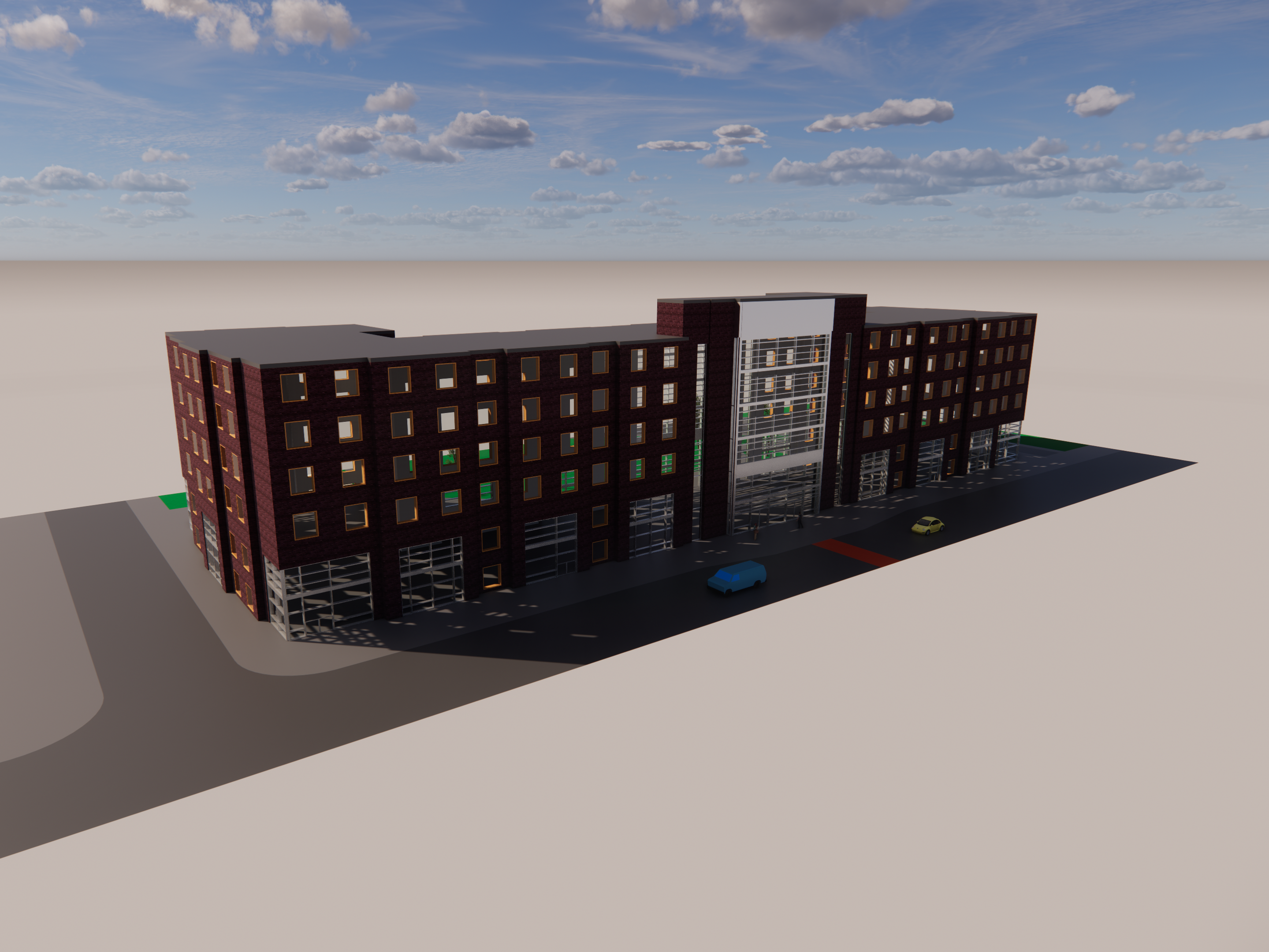
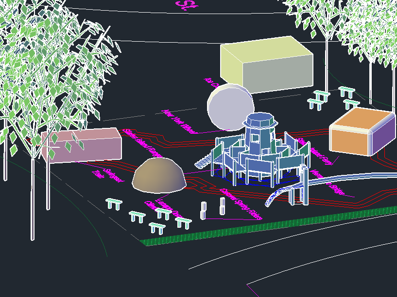
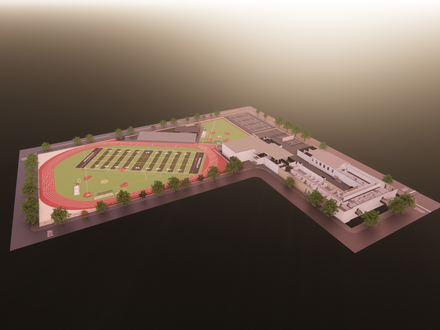
Below are images of the our final submission set and a link to the PDF version can be found here.